Mapping urban societies so what is a social territory exactly?
Speaker: Stephen Read
Tuesday, 12th November, Location: OTB, Hugo Priemuszaal
Cultural modernities and making urban worlds 9:15-9:45
Workshop: Make your own social territory 10:00-12:30
Cultural modernities and making urban worlds
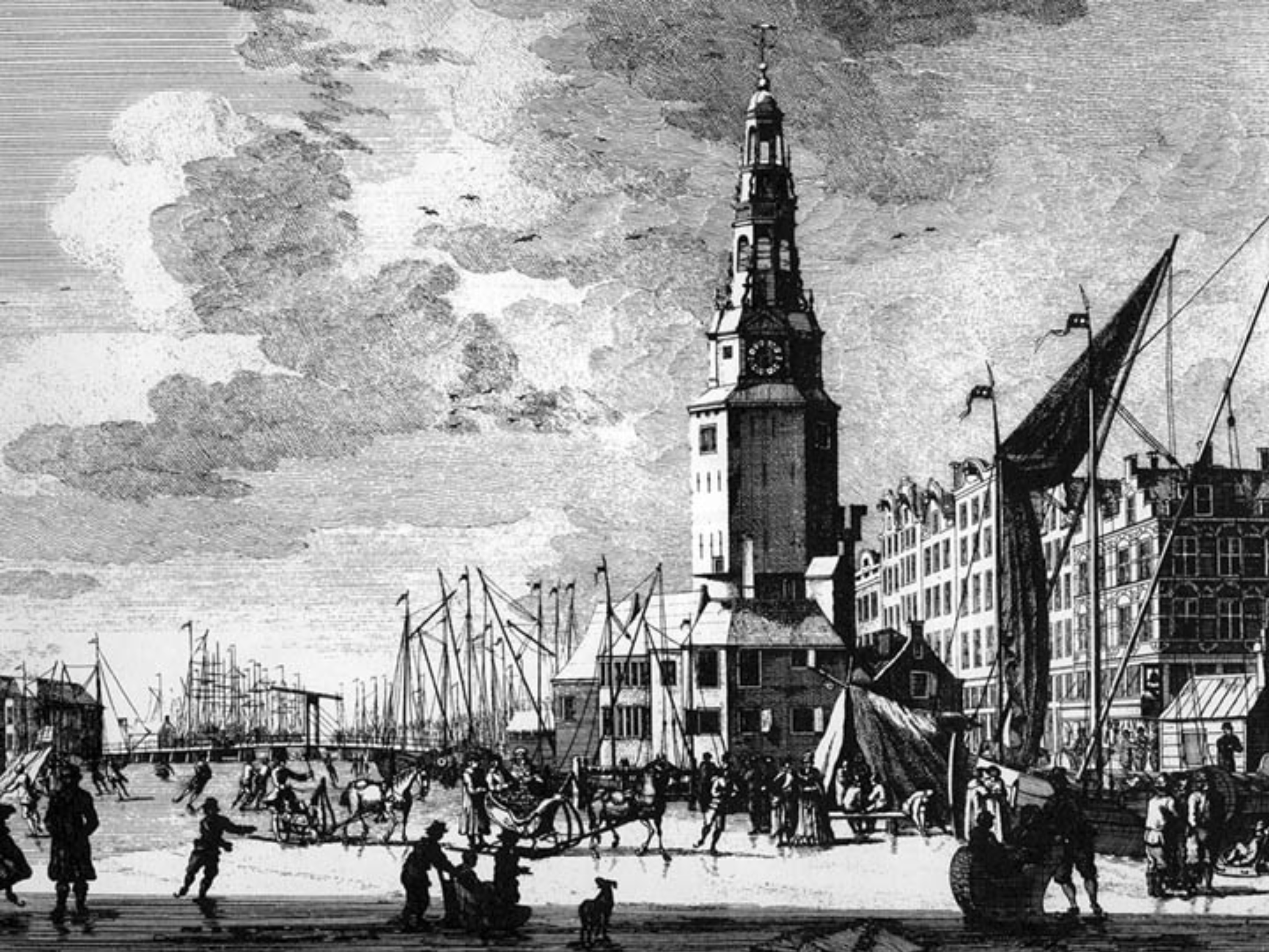
Organised social complexity is a product of urbanisation. Cities and societies have become ‘modern’ together in a series of ‘steps’ of social modernisation-complexification and city building. The forms of each of these cities and their social forms are linked. As social forms change the cities that accommodate these are built around them. An industrial city is built to accommodate an industrial society; a postindustrial city is built to accommodate a postindustrial society. New technologies are enrolled in new urban spaces and networks at each step. These infrastructures are enormously costly but they embed modern lives and economies and are considered necessities in successive hegemonic cultures of modernity. ‘Hegemony’ crosses political divides so that today for example governments of the left and the right regard national and global economies, highway and airport building and the power grid as technical rather than political matters. These built cities are also themselves a part of the strategy of ‘fixing’ accumulated surpluses of wealth. Contemporary denationalisation of strategic infrastructures can be seen as the economic elite reclaiming what they see as rightfully theirs. But the historic city also adds value, as forms of the city of the previous hegemonic cycle are ‘recycled’ into the logic of the new forms. Regeneration, gentrification, and renewal are processes by which historical urban places are returned not to ‘their former glory’ but to the economic spaces and social forms of the new hegemon.
Workshop:
In the workshop students will use the region and site they are currently working on and will be guided through the process of identifying successive urban societies and the cities they have occupied. These societies and cities can be traced through the costly sociotechnical infrastructures built at the time: water, drainage and electrical reticulation in industrial Amsterdam for example; especially housing and public transport in the industrial era and highways and suburban (highway related) developments in the postindustrial. These societies and their cities can be mapped by way of their centring spaces and ‘grids’ and the ways successive modern cities (industrial and postindustrial Amsterdam in the example) articulate with one another can be identified. The map produced can be used to ‘read’ the forms and spaces of social and urban development and this will be explained in class. Students are asked to develop their analyses to critically look at the public space in their study area. They are encouraged to find their own literature as a guide. Some possible texts are listed in the ‘supplementary reading’ list.
Paper:
A 3000 word paper on the structure of the region analysed. The paper should incorporate a critical comment on the public spaces involved. Students are asked to search for literature to do this: a recommended and supplementary reading list is included to help. Mentorship will be given at this stage to guide the student in their reading and in coming to critical conclusions. The paper will include the necessary simple maps and diagrams in a readable format. It is to include proper citations and references and be in the form of an academic paper.
Hand-in:
20th December 2013.
For Recommended and supplementary reading please check the education section of complex Cities Studio 2013, Cluster 2: Urban Growth-Urban space and place.
